Here are 6 amazing geographical facts that will blow your mind
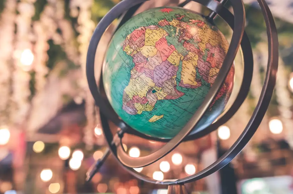
The world map is an amazing thing to look at, but it’s very difficult to remember all its little intricacies.
When we try to recall it, we tend to have a fixed notion of where everything is, often relying on false or confused memories.
Sometimes, the truth about world geography is stranger than the fiction we attach to it. Does it make sense for France to share a land border with Brazil, for example, or for Greenland to be the same size as Saudi Arabia?
Check out these six incredible world facts that you can drop into any dinner party conversation and wow your friends.
Greenland is further north, south, east, and west than Iceland
Granted, we’re starting with a strange one. Just how can one country be north, south, east, and west of another one? Isn’t this geographically impossible?


Well, check out Iceland on a map and you’ll find out that it’s true. The hulking mass of Greenland, a country that’s actually bigger than Saudi Arabia, comes into view.
While most of it lies to the north and west of Iceland, there are parts of it that stretch to the south of the island, and even a small cape that edges off to the east.
It’s a geographical fact that’s more common than you might think. San Marino, Lesotho, and the Vatican City are all countries completely surrounded by another: these land-based oddities are known as enclaves.
There are parts of Canada further south than parts of California
When it comes to places in the USA, there are some words that just don’t look right next to certain places. New York and beach, for example, or Las Vegas and responsible gambling. Another one is Canada and ‘south’, but the truth is that the ‘Great White North’ isn’t as northern as you might think.
Take a look at a map of the US and Canada and find Ontario. Trace its western border down to the peninsula that contains Toronto, its capital. Pretty far south, right? You may not have pictured the state making such a big dent into northern US.
Next, draw a straight line across the map until you reach the Pacific coast. You’ll find yourself in northern California. That’s right, the southernmost tip of Canada is on the same latitude as the Golden State.
France’s largest land border is with Brazil
Now, this might sound like a trick, but it technically isn’t.
French Guiana is an overseas territory of France, having never achieved independence from its conquerors. As such, it’s a part of France, with its people holding a full French citizenship.
Guiana shares a land border with Brazil that stretches for 730 km. This is over 100 km more than France’s Belgian and Spanish borders, its two longest European frontiers. So, if we’re looking for the country’s longest land border, then Guiana has it.
It’s unlikely this will change soon, too, with Guiana’s population seemingly happy to stay part of the French empire, despite recent periods of unrest.
Moscow is closer to Africa than to Vladivostok
It’s difficult to fully grasp just how huge Russia is until we put it into logistical terms, so here we go.
Moscow is closer to Africa than it is to Vladivostok, a city IN RUSSIA. Not only that, but it’s much closer. The distance to Cairo, for example, is 2900 km: less than half of the inter-Russian distance (6416 km).
While it sounds strange for the chilly Russian capital to be so much closer to the heat of Egypt than it is to Vladivostok, the truth is that the length of the Eurasian border is much shorter than the width of the world’s largest country.
This fact still sounds impressive when you say it, though. Try it out!
You must head in a north-west direction in the Panama Canal to get from the Pacific to the Atlantic
Wait a minute, the Pacific Ocean is to the west of the Atlantic, right?
Well, yes. Mostly. You see, there’s a geographical feature that occurs just around the Panama Canal where the thin strip of Central America curves enough to allow the Pacific to stretch further eastward than the Atlantic above it.
This means that ships passing through the canal from the Pacific have to almost go back on themselves, i.e. head northwest, to reach the other ocean.
It’s a curious quirk that often gets people scratching their heads, but a quick look at a map will confirm it for you.
If you were to flip Norway around so that it stretched south, it would reach Africa
This might be a difficult one to envisage, so let’s imagine Norway to be a huge plank of wood that you can lift.
If you lifted one side of it, then let it drop in the opposite direction, its tip would land a long way south. A very long way. In Africa, in fact.
This is because Norway stretches a very long way north, to the Arctic Circle, in fact. So , flipping it the other way would see it touching the edges of the Sahara.
Camels in Norway, now that would be something.